
















Add your Description here.

Early-stage exploration

Turning early exploration data into confident targeting decisions 

Early-stage exploration is for companies working across large, underexplored areas with limited existing data. ALS helps teams combine geochemical, geophysical and geological datasets with AI-driven workflows to identify high-potential zones, prioritise targets and make more confident decisions before committing field season budgets. This approach helps turn fragmented or low-density data into a clearer targeting picture that supports efficient exploration planning.

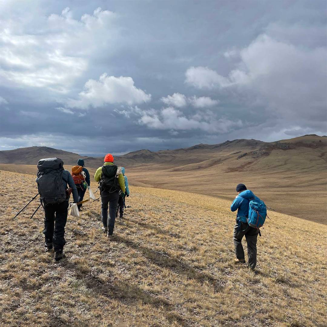
group of explorers exploring open terrain

2D Prospectivity Analysis

A data-driven approach to regional target generation

A machine learning approach that integrates geochemical, geophysical, geological, and structural datasets into a single interpreted map, ranking exploration targets across a region by their likelihood of hosting mineralisation.  

Ideal for companies that need to objectively screen large areas, narrow the search space, and make defensible targeting decisions without relying on manual interpretation alone. Delivers a clear, auditable output that supports both technical decision-making and investor communication. 

Benefits:  

  • Screen large areas more efficiently 
  • Integrate multiple data layers into one targeting model 
  • Rank targets by mineralisation potential 
  • Support technical decisions with auditable outputs 

Specialist Consulting Services

  1. Geoscience Data Integration & Targeting

    Bring together available geological, geochemical and spatial datasets into a more coherent targeting framework. This helps create a clearer picture of regional prospectivity and supports better target prioritisation.

  2. Geophysical Data Preparation & Targeting

    Process and interpret geophysical datasets to identify structural controls, anomalies and priority zones that support regional targeting and exploration planning.

  3. Geophysical & Spectral Domain Mapping

    Use geophysical and remote sensing data to define lithological, structural and alteration patterns across large areas, especially where surface exposure is limited.

  4. Soil Geochemistry Targeting

    Identify geochemical anomalies in soil datasets that may indicate buried or covered mineralisation and help guide follow-up exploration.

  5. Stream Sediment Geochemistry Targeting

    Use stream sediment datasets to highlight broader geochemical trends and prioritise areas for further investigation across regional programs.

  6. Spectral Domain Mapping

    Apply remote sensing and spectral analysis to map alteration and lithology quickly and cost-effectively across large land packages.

  7. Predictive Bedrock Mapping

    Model the underlying geology beneath cover to improve targeting in areas where bedrock is not well exposed at surface.

  8. Whole Rock Geochemistry Targeting

    Analyse whole rock geochemical datasets to characterise lithology, identify alteration signatures and refine targeting at the prospect or deposit scale.

Core Intelligence for Early Stage Exploration

At early stage, Core Intelligence brings together any available drillhole data, including sparse historical records, with surface datasets to build the most complete possible picture of the subsurface before new drilling begins.

Where core photos exist, LithoLens™ can help extract lithological and alteration information to strengthen the targeting model and ensure existing data is not left out of the decision-making process.

  • Make better use of sparse historical drill data 
  • Add subsurface context to surface targeting 
  • Strengthen targeting before new drilling begins 

Related resources

Core image analysis

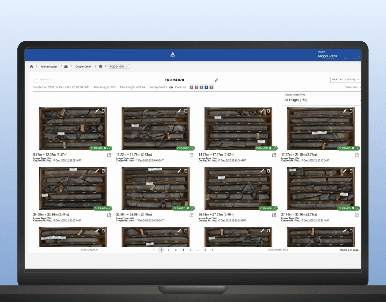
LithoLens™ supports development and mining teams by helping organise core imagery, extract geological features and improve consistency across high-volume drilling and relogging programs. It helps turn core photos into a more usable input for domain definition and geometallurgical interpretation. 

LEARN MORE

Machine learning for mineral exploration and modelling

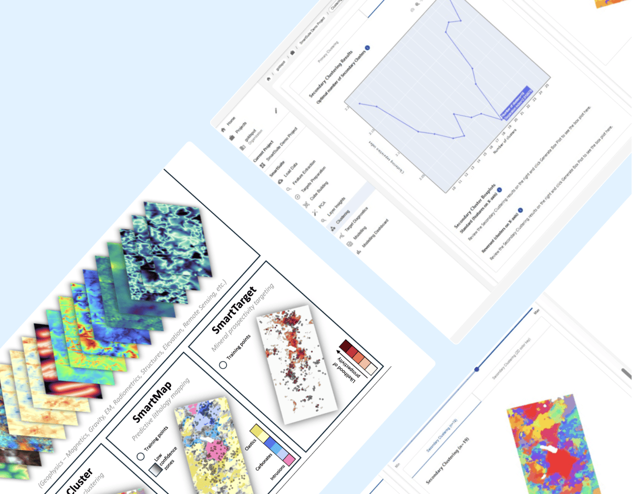
SmartSuite™ supports advanced-stage exploration with tools for prospectivity mapping, lithology prediction and pattern detection across complex datasets. SmartTarget™ helps refine targeting, while SmartMap™ supports geological interpretation and subsurface modelling. 

LEARN MORE

Geological logging and data management

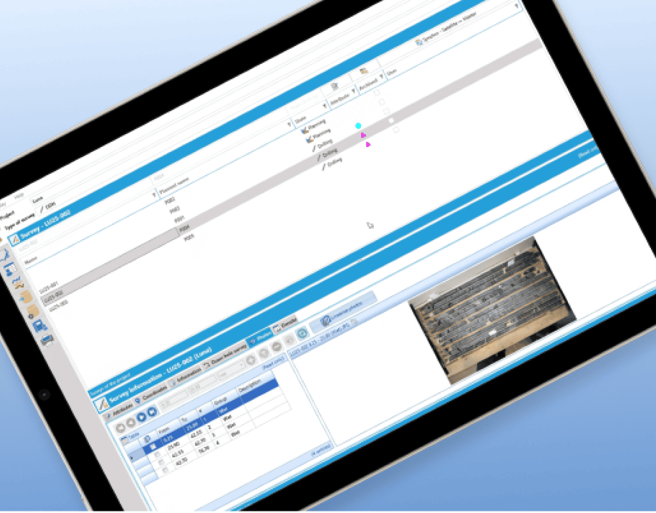
GeoticLog™ helps centralise drillhole data and streamline field-to-office workflows so geological information is easier to manage, access and use. It supports cleaner datasets for interpretation, planning and operational decision-making. 

LEARN MORE